Setshwantsho:South Africa location map.svg

Size of this PNG preview of this SVG file: 699 × 599 pixels. Tse dingwe resolutions: 280 × 240 pixels | 560 × 480 pixels | 896 × 768 pixels | 1,195 × 1,024 pixels | 2,389 × 2,048 pixels | 2,031 × 1,741 pixels.
Faele ya konokono (SVG file, nominally 2,031 × 1,741 pixels, file size: 644 KB)
Tshoboko
| Tlhaloso |
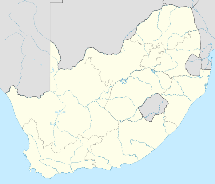
Deutsch: Positionskarte von Südafrika
Quadratische Plattkarte, N-S-Streckung 110 %. Geographische Begrenzung der Karte:
English: Location map of South Africa
Equirectangular projection, N/S stretching 110 %. Geographic limits of the map:
|
| Letsatsi | |
| Motswedi |
own work, using
|
| Mokwadi | NordNordWest |
| Other versions |
Derivative work: |

|
This map has been made or improved in the German Kartenwerkstatt (Map Lab). You can propose maps to improve as well.
|
Licensing
I, the copyright holder of this work, hereby publish it under the following licenses:

|
Permission is granted to copy, distribute and/or modify this document under the terms of the GNU Free Documentation License, Version 1.2 or any later version published by the Free Software Foundation; with no Invariant Sections, no Front-Cover Texts, and no Back-Cover Texts. A copy of the license is included in the section entitled GNU Free Documentation License. |
This file is licensed under the Creative Commons Attribution 3.0 Unported license.
- O gololosegile:
- to share – to copy, distribute and transmit the work
- to remix – to adapt the work
- Under the following conditions:
- Go neelwa – You must give appropriate credit, provide a link to the license, and indicate if changes were made. You may do so in any reasonable manner, but not in any way that suggests the licensor endorses you or your use.
You may select the license of your choice.
Segologolo sa setshwantsho
Tbetsa letsatsi/nako go bone faele jaaka ene e ntse ka nako eo.
| Letsatsi/Nako | Thumbnail | Dikarolwana | Modirisi | Comment | |
|---|---|---|---|---|---|
| ya jaanong | 18:18, 28 Tlhakole 2010 | | 2,031 × 1,741 (644 KB) | NordNordWest | update |
| 22:39, 25 Tlhakole 2009 |  | 2,032 × 1,742 (654 KB) | NordNordWest | {{Information |Description= {{de|Positionskarte von Südafrika}} Quadratische Plattkarte, N-S-Streckung 110 %. Geographische Begrenzung der Karte: * N: 21.8° S * S: 35.2° S * W: 16.0° O * O: 33.2° O {{en|Location map of [[:en:South |
Tiriso ya setshwantsho
The following page uses this file:
Tiriso ya file ka karetso
Di wiki tse dingwe di dirisa setshwantsho se
- Dirisa mo af.wikipedia.org
- Mapungubwe
- Oranjerivier
- Tafelberg
- Duiwelspiek
- Hartsrivier
- Kaapse floraryk
- Sjabloon:Inligtingskas Berg
- Roggeveldberge
- Nasionale Vrouemonument
- Mont-aux-Sources
- Olifantsrivier, Limpopo
- Toorberg (berg)
- Wieg van die Mensdom
- Sjabloon:Inligtingskas Wêrelderfenisgebied
- Richtersveld
- Sterkfontein
- Sjabloon:Liggingkaart Suid-Afrika
- Grassridgedam
- Sondagsrivier
- Klein-Visrivier
- Seweweekspoortpiek
- Kompasberg
- Thabana Ntlenyana
- Die Berg
- Kwaduma
- Ben Macdhui
- Sneeuberg
- Matroosberg
- Bloukranspas
- Moloporivier
- Modderrivier
- Kranskop (koppie)
- Kliprivier, Vrystaat/Mpumalanga grens
- Kliprivier, Gauteng
- Kliprivier, KwaZulu-Natal
- Wilgerivier (Vaal)
- Majubaberg
- Groot-Keirivier
- Keiskammarivier
- Leeukop
- Seinheuwel
- Soutkop
- Mokala- Nasionale Park
- Rooinekpas
- Nonesisnek
- Oudebergpas
- Pitsengpas
- Potrivierpas
- Krokodilrivier (Limpopo)
- Krokodilrivier (Mpumalanga)
View more global usage of this file.